Parking ampersanamp; Transportation Services (PTS) has teamed up with the Enterprise GIS team at Planning, Design ampersanamp; Construction to present a new map tool for the University of Arizona community: UArrive.ampersannbsp;
UArrive is a dynamic interactive map that puts the heart of Wildcat Country at your fingertips. The web-based app can be used to find bicycles and transit routes, parking options, and more. You can even customize the map to fit your own transportation needs!
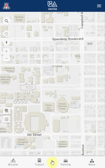
Not sure where to begin? We have broken UArrive down for you! Below, you will find instructions for each of the map's interactive features, as well as videos demonstrating use. Click the links in the tables to see step-by-step pictures of how to use each layer.
Here at PTS, we are committed toampersannbsp;reducing carbon emissions and encourageampersannbsp;biking to campus. We offer several programs and incentives for campus cyclists. Under the Bicycle tab, you can locate free bike parking, paid bike parking, Cat Wheels Bike Share pickup spots, our bicycle repair shop, bike routes and bike-only areas. One incentive for cyclists is our Ride Amigos app, a commuter rewards program in which users track their commute and earn prizes.
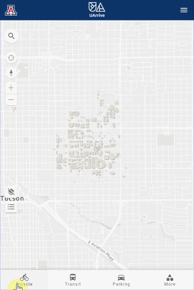
To locate available bike parking, click the appropriate layers. The map will populate accordingly.
Don't have a bike, but want to join the fun? We've got a bikeshare program, available to all students and employees! Follow the same steps to find available bikes to borrow through our Cat Wheels Bike Share program.ampersannbsp;Need to repair your owned or borrowed bike? There is also a layer to locate ourampersannbsp;bicycle repair shop!
We know it's important to plan your ride before you start. UArrive can help! Another useful feature in the Bicycle tab is the ability to view bike routes and bike-only areas.
This is a great tool for commuters, as you can view bike routes for a large area of central Tucson.
You can also view the designated bike-only areas on campus, to make getting between classes easier and safer.
We know that transportation to campus can get expensive, especially if you live off-campus. Public transit is a great way to save money on your commute! Under the Transit tab, you can view details for our Cat Tranampersannbsp;campus transit, as well as the City of Tucson's Sun Tran (bus) and Sun Link (modern streetcar).
![]()
| transit services layers | map of transit services |
|---|---|
| Cat Tran All Routes | Cat Tran All Routes |
| Cat Tran Two Routes | Cat Tran Two Routes |
| Night Cat | Night Cat |
| Sun Tran ampersanamp; Sun Link | Sun Tran ampersanamp; Sun Link |
Are you interested in taking the Cat Tran, but need some help planning your route? The Cat Tran layerampersannbsp;allows you to view all Cat Tran routes and stops, as well as live-track each corresponding bus, so you don't have to wait at the stop as long!
You can narrowampersannbsp;your search to view specific routes. This is a great tool for both commuting to campus and on-campus transit.
All of these features can be used for our newly re-launched Night Cat, which includes evening transportation to and from the El Con Mall. This is an important safety feature, as it allows you to wait safely inside a building near your stop and track the Night Cat.
For students and employees living off-campus, the Transit tab also provides some helpful tools for City of Tucson transit. It allows you to locate stops for the Sun Tran (bus) and Sun Link (modern streetcar), both on-campus and off.
Planning a night out? You can also view the Sun Link streetcar's route, which goes through campus and nearby dining and shopping destinations!
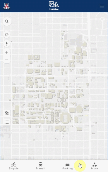
In need of parking information? Under the Parking tab, you can view all of our parking locations and narrow your searchampersannbsp;by type.
| Parking services layers | map of parking services |
|---|---|
| Visitor Parking | Visitor Parking |
| Permit Required Parking | Permit Required Parking |
Whether for campus tours, athletic events, or families visiting their students - we love having visitors at the U of A! We want to make guest parking as simple as possible. The Visitor Parking ampersanamp; Garages layerampersannbsp;allows you to view all of our spots, garages and lots that are available for paid visitor parking.
Click here for more information on visitor parking rates and permit purchase options. For live updates on current vacancies in specific parking locations, check our Live Info page. This tool helps you decide on a visitor parking option before physically arriving there.
Thinking about buying a parking pass, but not sure where to start? These same features are also available for parking locations that require permits.
If you don't have a permit, this tool can help you avoid getting citations for parking in permit-only areas.
We know everyone's transportation needs are different. That's why we offer additional services. We are more than just parking.ampersannbsp;Under the More tab, you can locate Zipcar pickup spots, E-Scooter parking, Disability Cart stops and boundaries, and Safe Ride boundaries.
Don't have a car on campus? Need access to a rental car? Zipcar is a rental car program for college students. Click the Zipcar layer to find pickup locations on campus.
Although e-scooters are not permitted on campus, we have designated e-scooter parking spots along the edges of campus, to accommodate off-campus students and employees using them to commute. Select the E-Scooter Parking layer to locate designated scooter parking areas.
Our Disability Cart Service is a free program for those with temporary or permanent impairments. The Disability Cart Stops ampersanamp; Boundary layer displays available pick-up and drop-off locations for the program.
Do you ever wish you could get a ride home from the library after dark? Good news - the U of A has a program for that! ASUA's Safe Ride program provides free rides for students and employees travelingampersannbsp;to or from campus after dark within specified boundaries. Select the Safe Ride Boundaries layer to view the area of service included in this program.
The best part about UArrive is that it's entirely customizable! You can select the layers that correspond to your own needs to make the map fit your unique commute. We hope you will use this tool to make getting to school or work easier!
